BETTER DATA = BETTER DECISIONS: LiDAR UNDERSTORY DETECTION
Prince George, British Columbia – Ecora was retained by The College of New Caledonia Research Forest to identify potential areas for increased understory retention on logging plans. Their goal was to collect the necessary information to support forest management decisions and reduce the amount of field work required in the future.
THE CHALLENGE
With the cost of labour constantly on the rise, the leaders of the CNC Research Forest were looking for a way to improve field sampling efficiency. They had found that significant resources were being wasted identifying mature stands with adequate understudy structure. They needed an innovative way to identify areas within their forest with optimal understory structure, where their field workers could focus their attention and get the best ROI.
THE SOLUTION
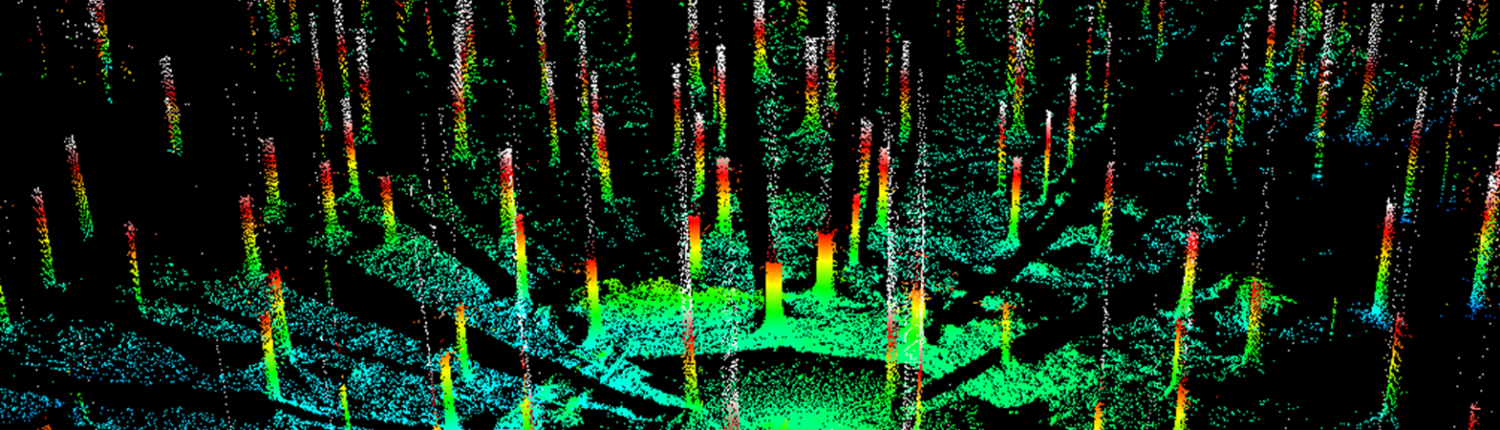
Through the use of CNC’s aerial LiDAR data, Ecora’s GIS and Resource Inventory Teams determined a multi-phase approach that would provide the CNC Research Forest with the information they were after. Our methodology consisted of a 5 step plan:
- Utilize LiDAR data to determine individual tree locations and height values
- Identify which tree stems are characterized as understory
- Calculate overstory and understory stem per hectare densities
- Create map outputs illustrating tree density and height values
- Conduct field surveys to verify the accuracy of LiDAR derived results
THE RESULTS
The use of aerial LiDAR data for this project provided Ecora with the ability to identify areas with an understory structure that met CNC’s predefined criteria. Based on the results provided, CNC is now able to keep their field sampling focused to key areas, which significantly reduces their field sampling costs.