SERVICES

GEOSPATIAL

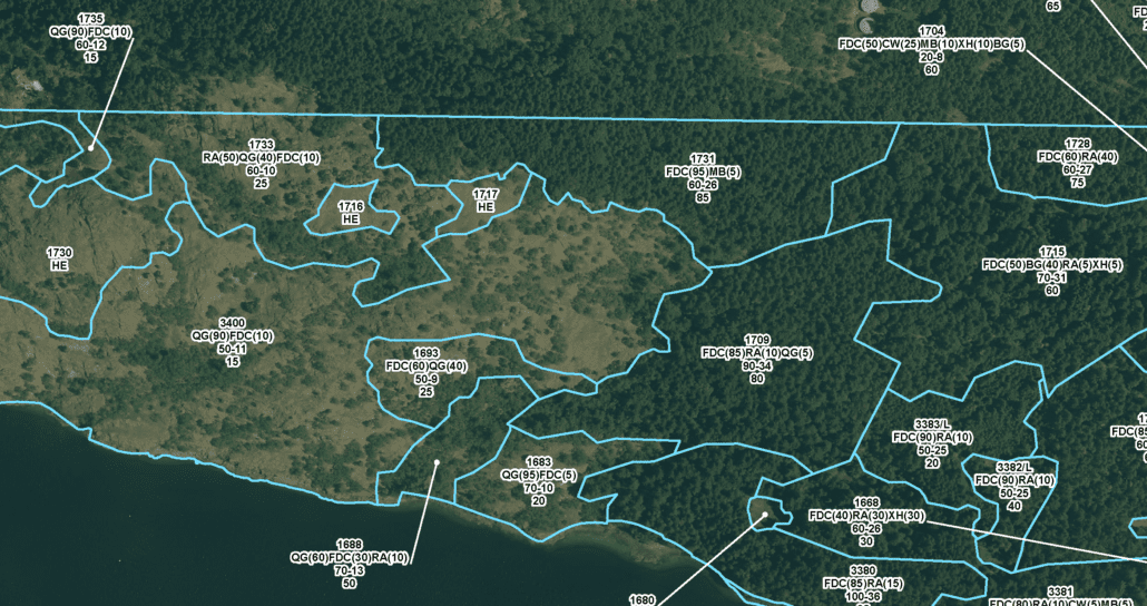
GIS sees what the eyes can’t. Our team of geospatial professionals help visualize, analyze and communicate what matters to you. Through the use of advanced and innovative geospatial techniques and applications, we provide you with smart decisions for your business. We deliver turnkey services that include all data life cycle steps, from acquisition, through updating, to distribution. We help our clients connect the people, places, things and technology that drive their success. Let us help you see the world through a new set of eyes.

  • MAPPING

    Creative, informative, eye-catching: We can map the geographical location of your real-world information and visualize the spatial relationships within.

  • SPATIAL ANALYSIS

    We can provide an in depth understanding of the relationships between your data and how your company can capitalize on that knowlege.

  • WebGIS / WebApp

    Take your GIS processes online, with no unwieldy datasets to install or servers to maintain.

  • SOFTWARE AND PROGRAMMING

    Our Team is experienced with; Microsoft SQL Server, Oracle, MySQL, PostgreSQL, XML, Python, R, ESRI Products, ArcGIS, ArcGIS Enterprise, ArcServer, QGIS, Collector and Survey123.

  • MOBILE GIS

    Take your data anywhere. Use it as a reference to inform your on-the-go decisions or actively edit it from the field, whether you’re in town or in the middle of nowhere.

  • DATA CREATION, CONVERSION, COLLECTION

    We use our multi-disciplinary experts and years of experience to give you solutions that consolidate, migrate, cleanse, provision and manage geospatial data.

  • DATA AUTOMATION & WORKFLOWS

    We can take the manual repetitive tasks you perform regularly and improve them through automation and design, increasing your day to day efficiency.

  • AGILE MANAGEMENT

    Our development approach keeps you connected, with frequent updates and iterations for your review. You stay involved and informed during the whole process and the project moves forward on a predictable schedule.

CONTACT INFORMATION:

Kendra Hopper

GIS Team Lead
kendra.hopper@ecora.ca

FEATURED PROJECTS

Loading...